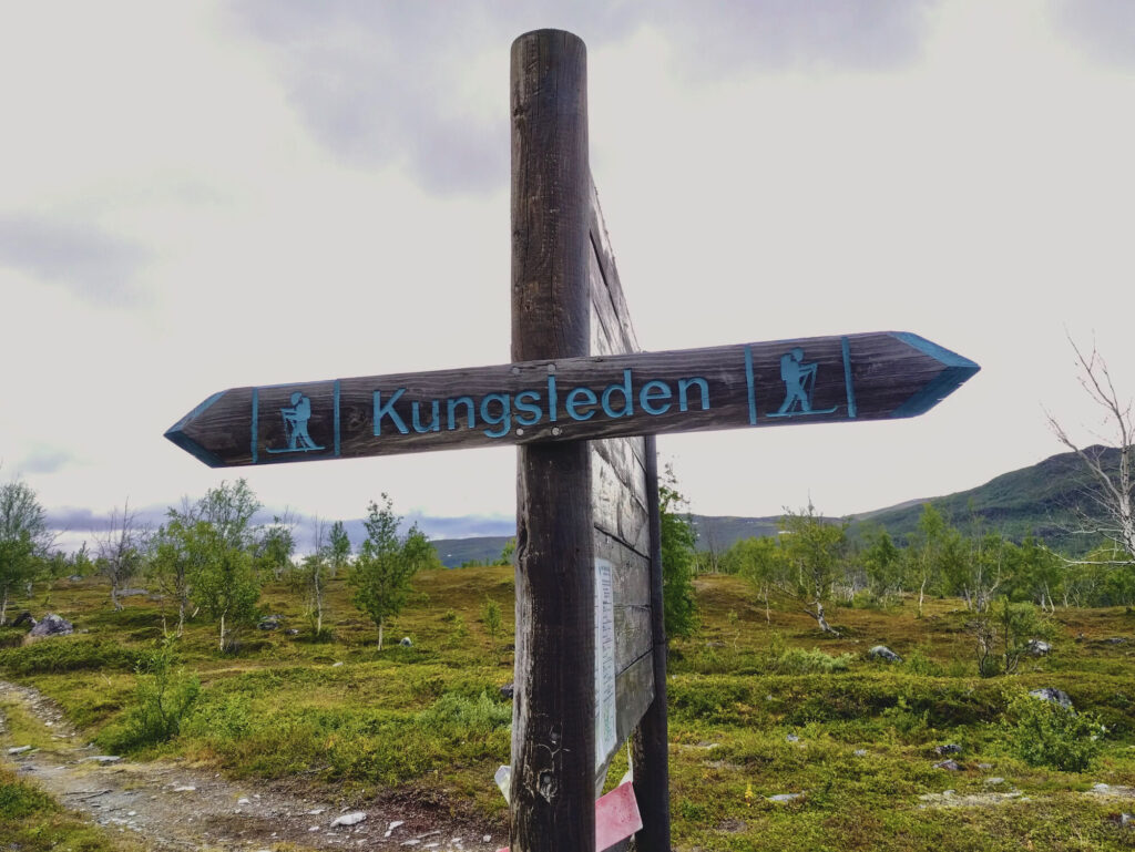
Again this night in the tent was surprisingly chilly. What we don’t know at this point: the temperatures will remain very low for the following days. After a short discussion of the situation we decide to skip the Abiskojaure hut, for which we would have to make a small detour from Kungsleden, and walk directly towards Alesjaure. As it is significantly more than 25 kilometres to Alesjaure, we will set up our camp for the night somewhere along the way.
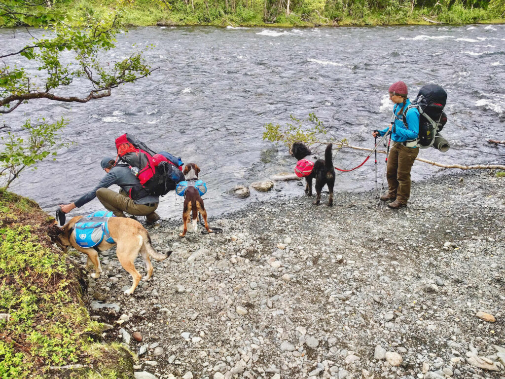
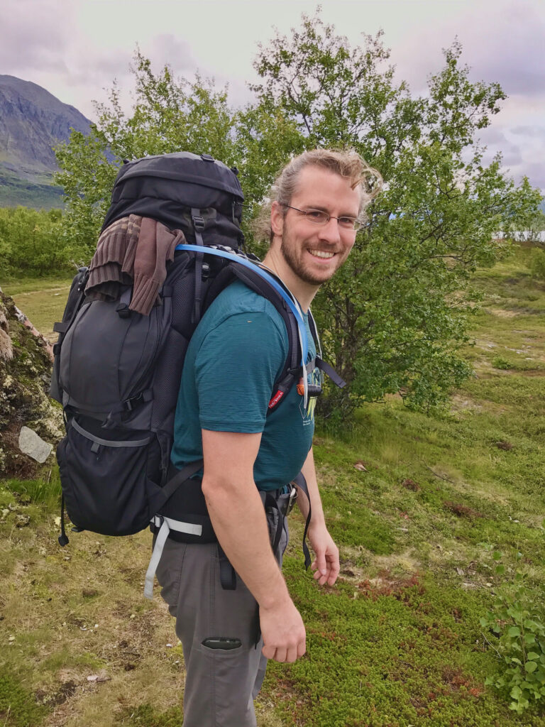
The sky is grey and cloudy as we set off after breakfast. As you would expect up here, we are plagued by a bunch of mosquitoes. We hope that the mosquitoes will disappear in the next few days, when we get a little higher and above the tree line. Until then only the anti-mosquito gel helps.If you want to know more about how to keep mosquitoes away from you, read our article about it.
How many hikers can the fragile ecosystem at Kungsleden cope with?
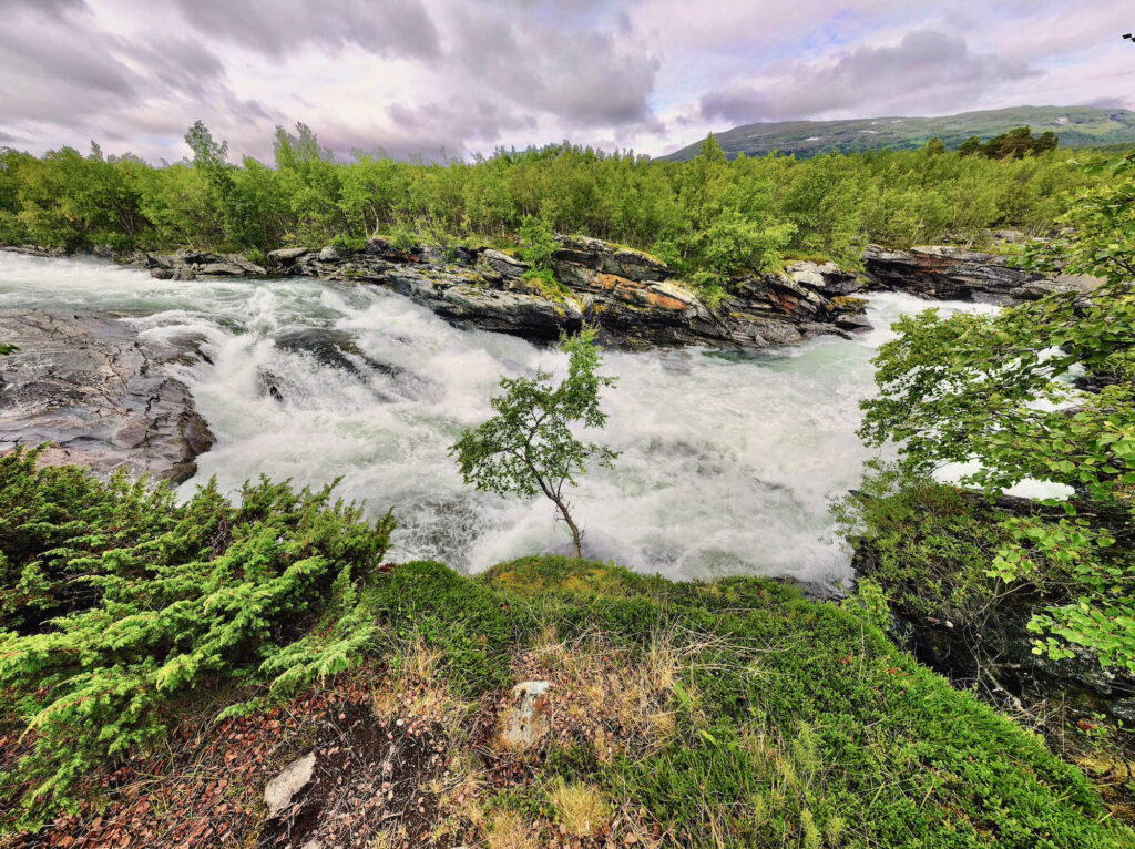
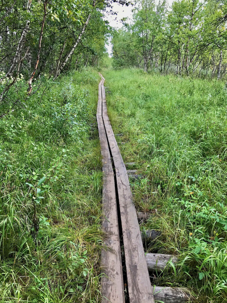
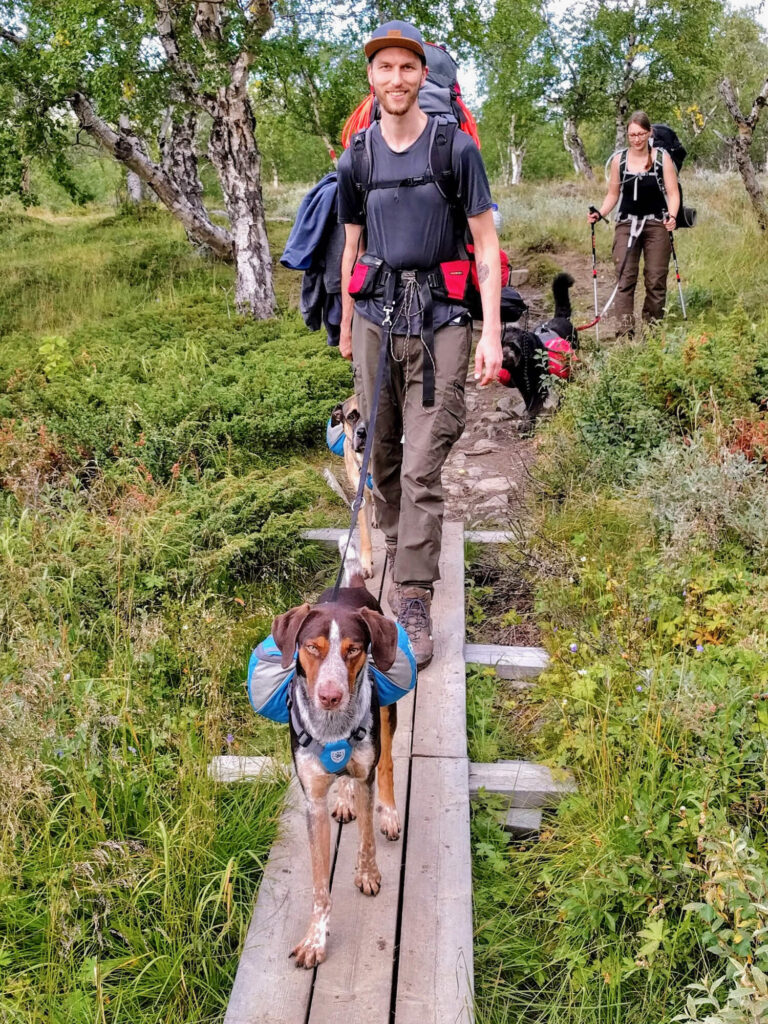
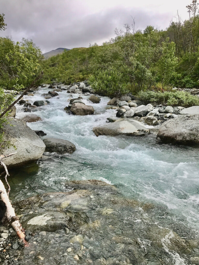
We first walk over the typical wooden planks through a low birch forest. The river slowly widens and finally flows into the Abiskojaure. At places without wooden planks, the Kungsleden is partly trodden out up to one meter. We are surprised about the wide path, but it also makes us ponder. We clearly notice that there are much more hikers on the northern stages than further south. The northern section of the Kungsleden has gained a lot of popularity among trekking fans over the last years. The sparse vegetation therefore cannot compensate the many hikers in its short growing period.
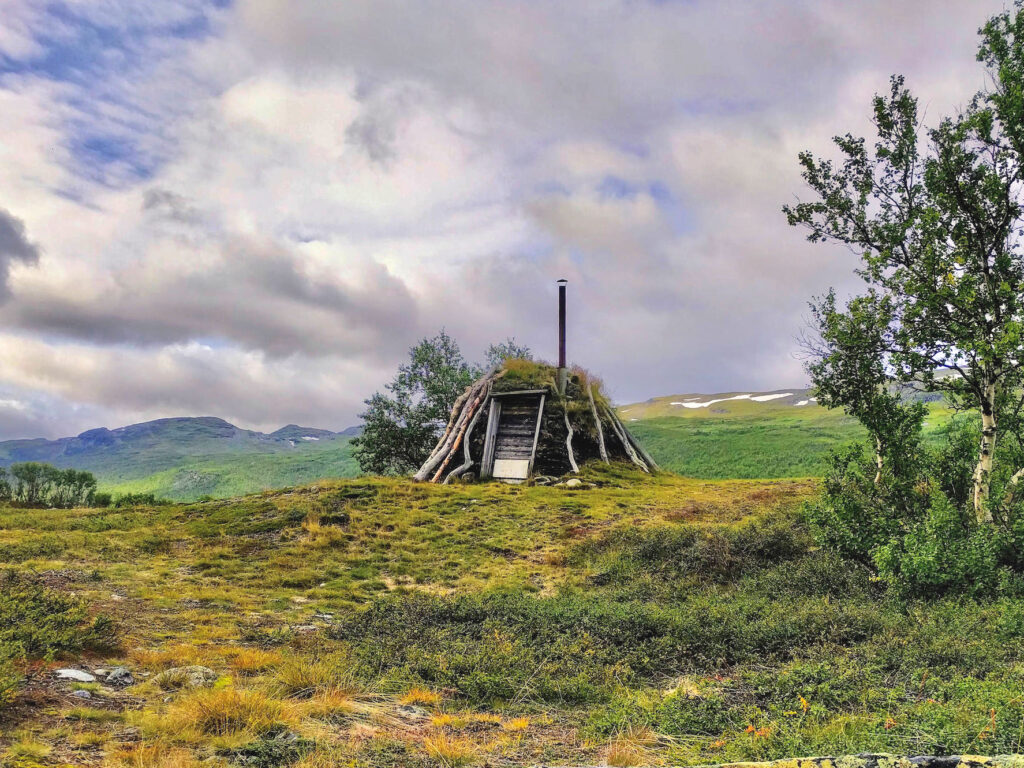
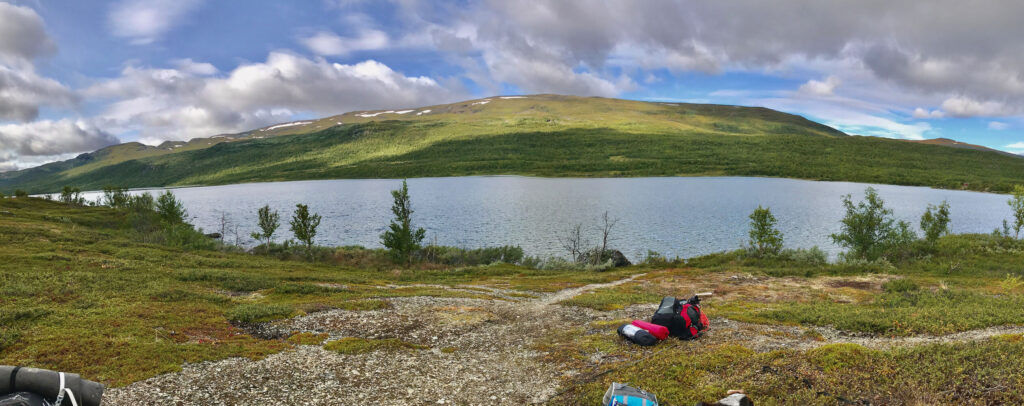
Where Abiskojaure begins, we find a small Sami settlement consisting of a kote and several small houses situated right next to Kungsleden. However, apparently they lie abandoned at the moment. With a view to the huts and the Abiskojaure we decide to take our first short stop and make sure that our backpacks gets a little lighter.
First traces of moose on the Kungsleden
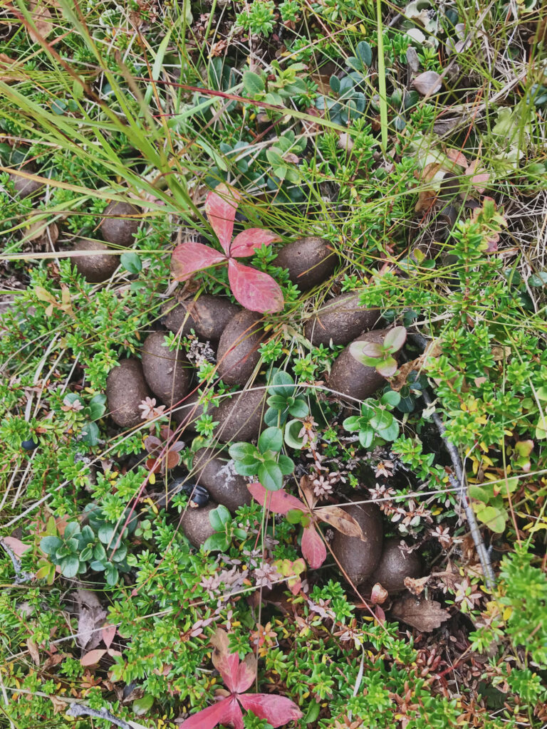
The Kungsleden now leads along the lakeshore of the Abiskojaure and now even a few sunrays cheer us up while we are hiking. In the grass we find first traces of moose: Their droppings! We call them moose pellets because of their appearance and wonder if they are burnable.
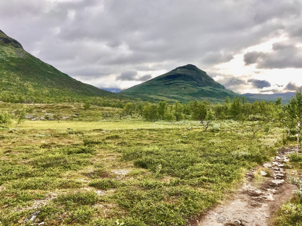
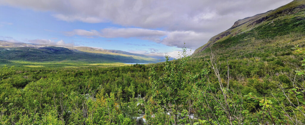
Well before the junction to Abiskojaurestuga we can already see the impressive mountains Gárddenvàrri and Giron with their steep slopes. Between them, the Kungsleden leads us up to Gàrddenvàggi with a height difference of about 300 meters. 300 altitude meters might not sound like that much, but with a really heavy backpack in rough terrain, this ascent is quite exhausting. The view back to Abisko National Park however is really rewarding! Moreover, this view obviously justifies stopping regularly to have a look around! Two years later, by the way, we were on the other side of the Abiskojaure and had a magnificent view of this part of the Kungsleden!
Wild rivers, vast landscapes – Lapland shows its most beautiful side
STF Abiskojaure mountain cabin
The Abiskojaure hut is situated on both Kungsleden and Nordkalottleden. A special feature of this hut is that it is barrier-free. This gives people with physical handicaps the opportunity to experience the mountains. To get there they can take the boat from Abisko over the Abiskojaure. A great thing, I believe!
Beds: 51-75
Shop: Yes
Sauna: Yes
Payment: Cash or credit card
Further information: www.swedishtouristassociation.com
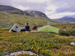
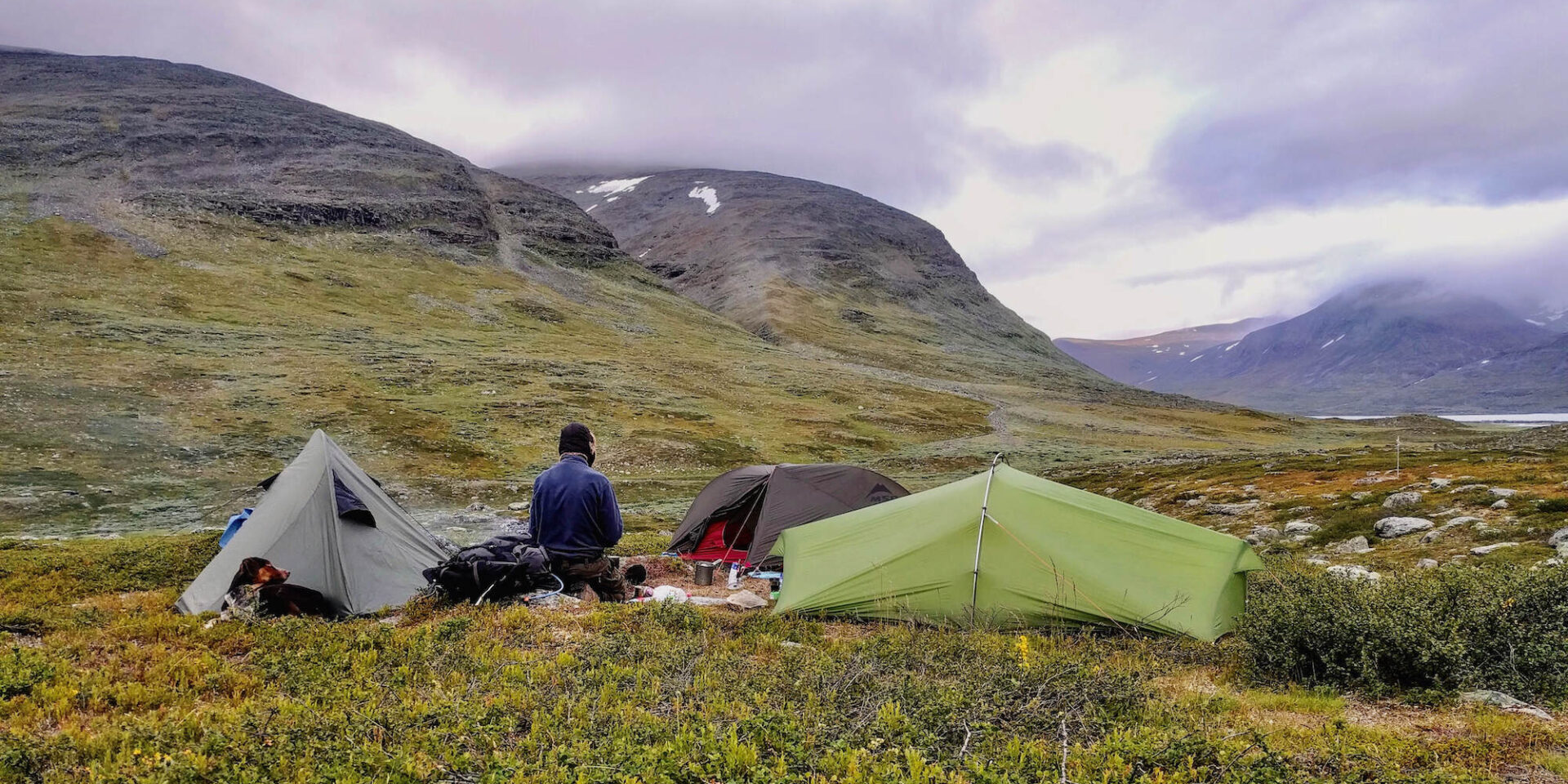
We walk uphill for about two hours that day and notice that we are getting constantly slower. Around 6 pm we decide to set up camp at the highest point. In a dip we find a place that is fairly sheltered from the wind. At the same time the sky clears up and announces another cold night.
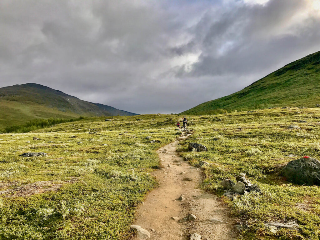
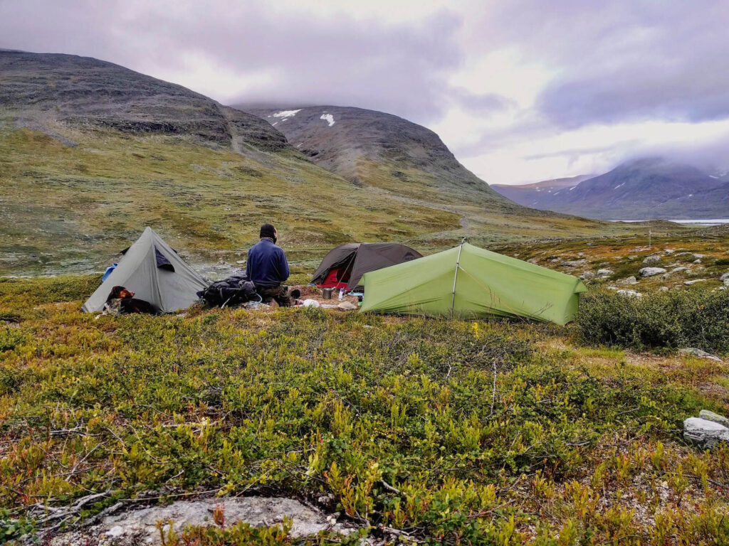
Campsite at Nissonjohka
Description
Day 2: Nissonjohka - Gárddenvárri
Profile
Description
At the end of the Abisko National Park the Kungsleden turns south on the second day and follows the Kamajåkka. The ascent is long and we find it exhausting. At the foot of the Gárddenvárri we find a good campground a little off the trail.
Campsite at Gárddenvárri
Description
