From 20.08.2018 to 30.08.2018 Manuel, Lando and I hiked on Kungsleden between Jäckvik and Saltoluokta. We walked from south to north, against the main direction. This way you end up in Saltoluokta, with a great STF mountain station. There you can spend some spare days if you have any left. If you walk the other way around and end up in Jäckvik, there is only a gas station and a bus stop. The distance is about 169 km and we needed 9.5 hiking days plus a rest day to reach our destination. At the end we spent two more days in Saltoluokta. We travelled by plane from Germany to Sweden and within Sweden by bus or train.
On this section of the Kungsleden there are only a few huts
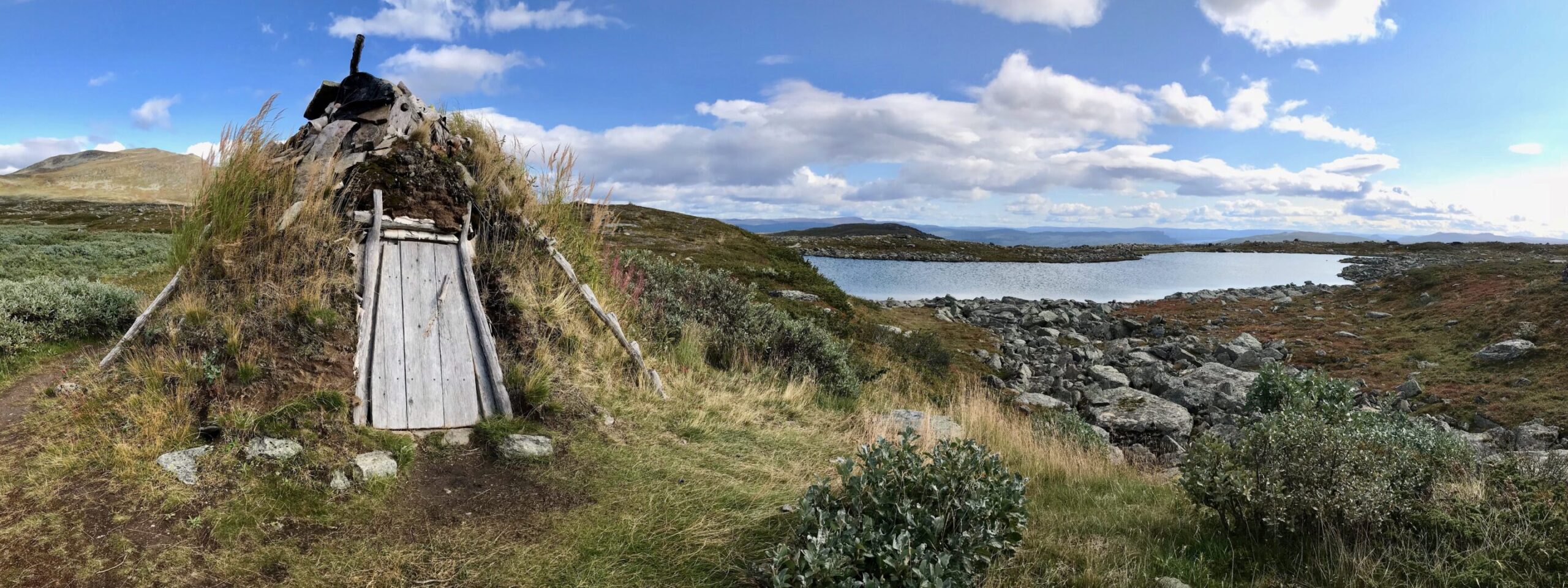
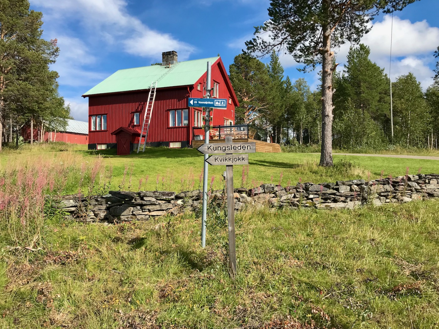
Between Jäckvik and Kvikkjokk the only possibility to stay overnight in a cabin is in Vuonatjviken. There is also an emergency hut a day’s walk from Kvikkjokk. The Tsielekjåkkstuga has two beds and an oven where you can spend the night sheltered from the weather. The section between Kvikkjokk and Saltoluokta, on the other hand, has cabins at day hiking distances.
Overall, the path was very little walked during the time we were there. I would estimate that we met about three to four people a day on average. Since we walked against the main hiking direction, I also assume that we met most of the people.
Our travel reports of the individual days
Day 0: Flight from Germany to Luleå
Day 1: Traveling from Luleå to Jäckvik, hiking to Haugajaure
Day 2: Haugajaure – Vuonatjviken
Day 3: Vuonatjviken – Reindeer keeper hut Tjäurakåtan
Day 4: Reindeer keeper hut Tjäurakåtan – Campsite at Ruovddejávrre
Day 5: Campsite at Ruovddejávrre – Tsielekjåkkstugan
Day 6: Tsielekjåkkstugan – Kvikkjokk
Day 7: Rest day in Kvikkjokk
Day 8: Kvikkjokk – Campsite at Gállaktjåhkå
Day 9: Campsite at Gállaktjåhkå – Aktse
Day 10: Aktse – Sitojaure
Day 11: Sitojaure – Saltoluokta
Day 12: On the trail around Saltoluokta
Day 13: Day hike to Lulep Kierkau
Would you like to know more about our tour on the Kungsleden? Do you like the article, but you still lack information, or have you ever been to Lapland? Then please leave us a comment! You know someone who has similar plans and could find useful information on this page? Then share our article!
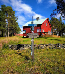
Start in Jäckvik
Description
Day 1: Jäckvik - Haugajaure
Profile
Description
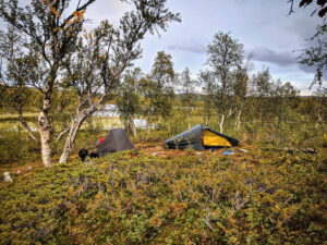
Campsite at Haugajaure
Description
Day 2: Haugajaure - Vuonatjviken
Profile
Description
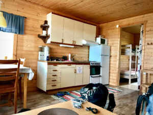
Accomodation in Vuonatjviken
Description
Day 3: Vuonatjviken - Tjäurakåtan
Profile
Description
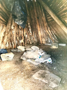
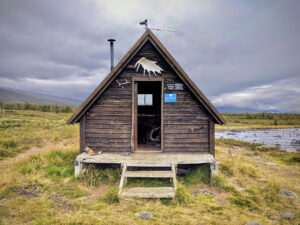
Sleeping place inside Tjäurakåtan
Description
Day 4: Tjäurakåtan - Ruovddejávrre
Profile
Description
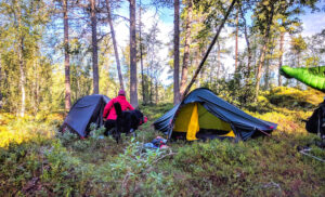
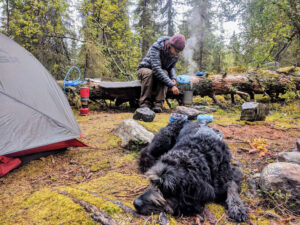
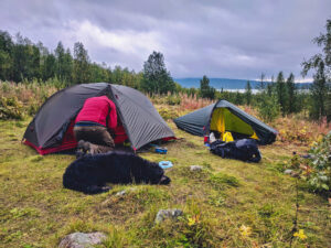
Campsite at Ruovddejávrre
Description
Day 5: Ruovddejávrre - Tsielekjåhkå
Profile
Description
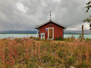
Tsielekjåkkstugan
Description
Day 6: Tsielekjåhkå - Kvikkjokk
Profile
Description
STF Kvikkjokk Fällstation
Description
Day 8: Kvikkjokk - Gállaktjåhkå
Profile
Description
Campsite at Gállaktjåhkå
Description
Tag 9: Gállaktjåhkå - Aktse
Profile
Description
STF Aktse Fjällstuga
Description
Day 10: Aktse - Sitojaurestugorna
Profile
Description
STF Sitojaurestugorna
Description
Day 11: Sitojaurestugorna - Saltoluokta Fjällstation
Profile
Description
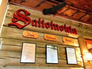
STF Saltoluokta Fjällstation
Description