If you search the Internet for the Lieserpfad in the Eifel, you will come across the statement that it is the “most beautiful hiking trail in the world”. Of course this is an advertising slogan, but it sets high expectations for the upcoming hike.
The river Lieser
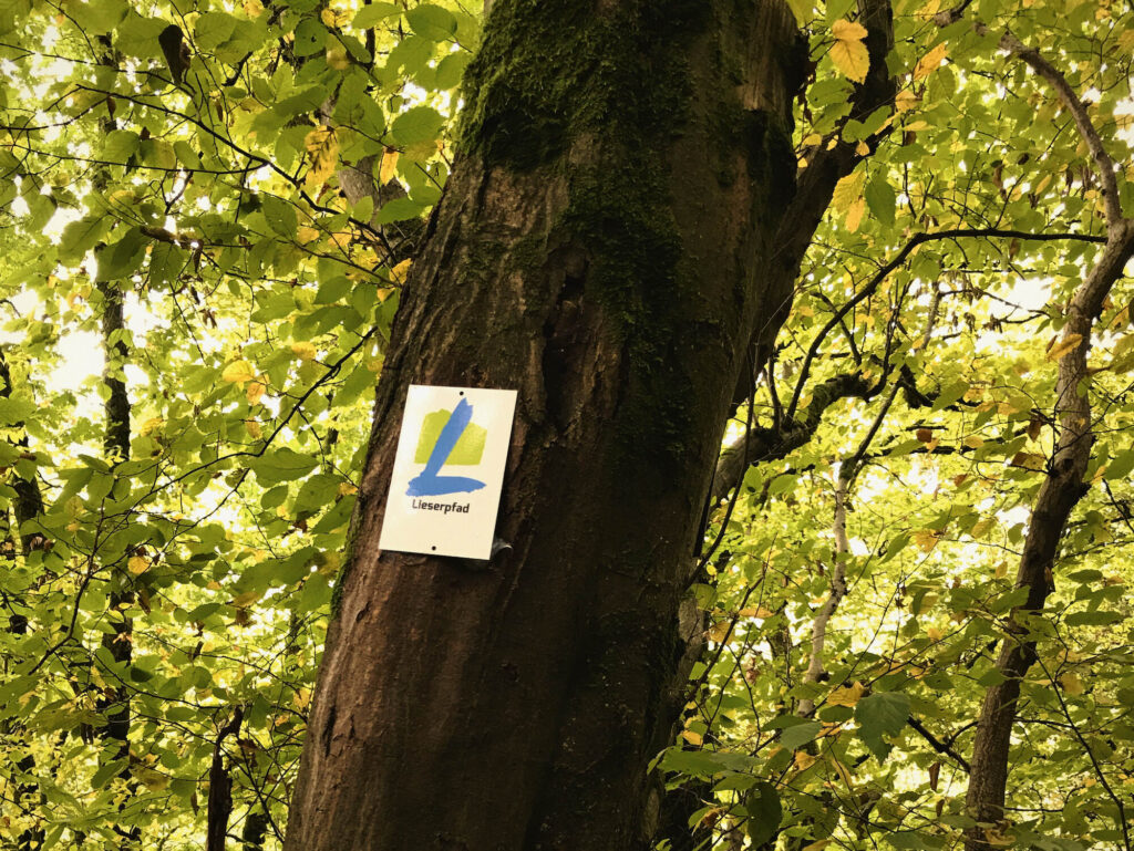
The Lieser is a small river that has its spring in Daun-Boxberg and then winds for a little over 70 kilometers to the Moselle. It is followed for almost 75 kilometers over four daily stretches by the Liserpfad which starts at the spring and end at the mouth of the Lieser into the Moselle close to the village of Lieser.
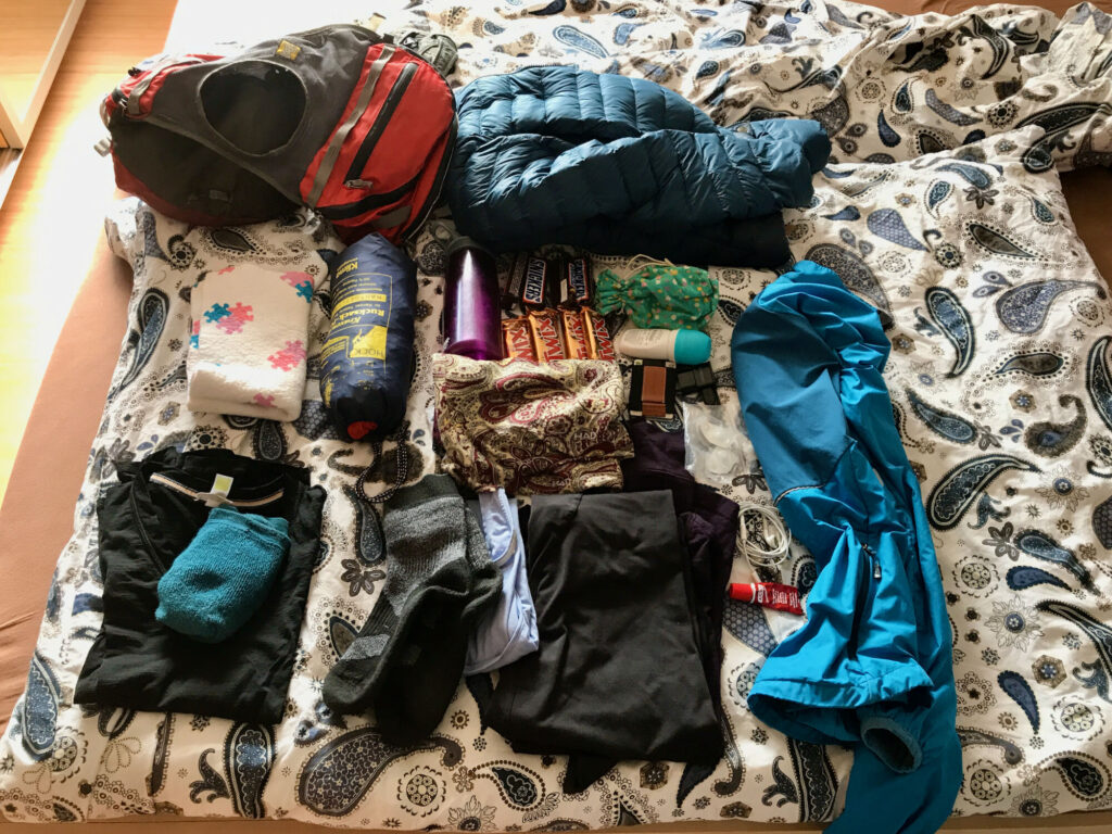
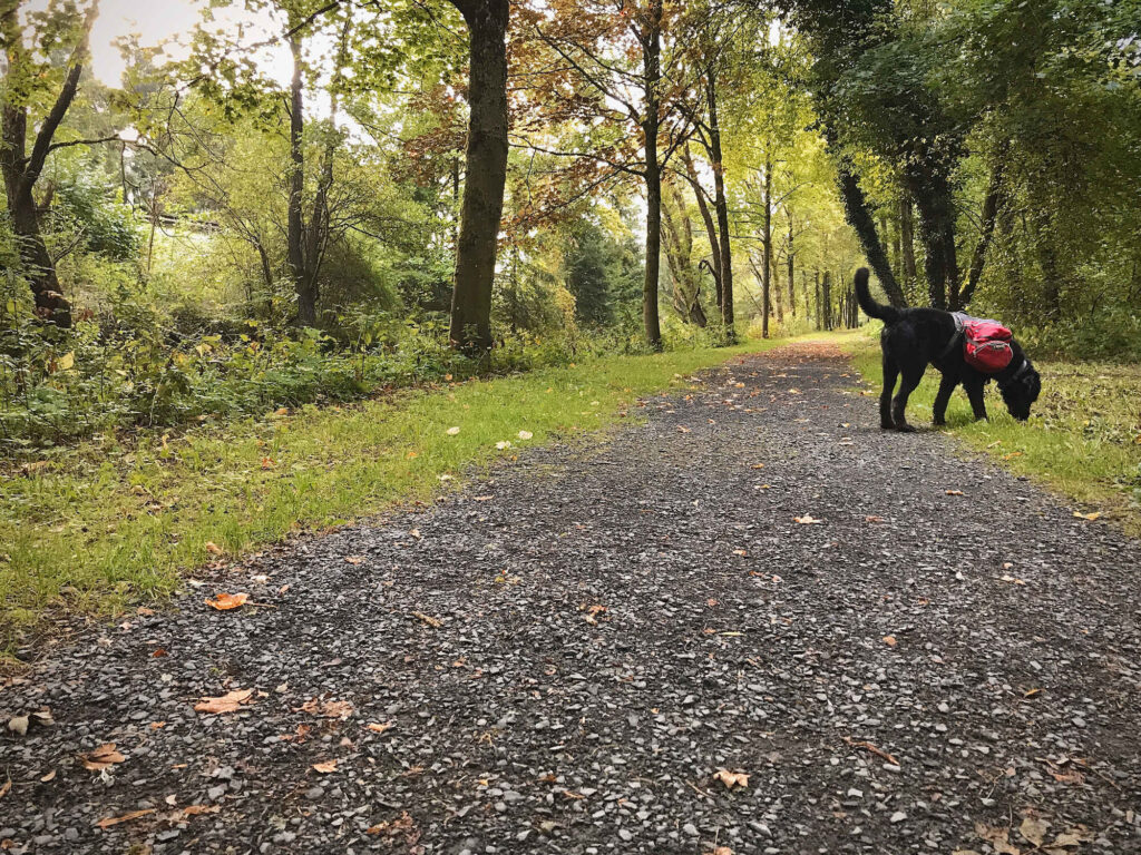
With anticipation I pack the few things I need for the four-day hike with overnight stays in guesthouses and hotels into my smallest backpack. Even Landos packs are only filled to a small extent.
Day 1: Boxberg – Daun
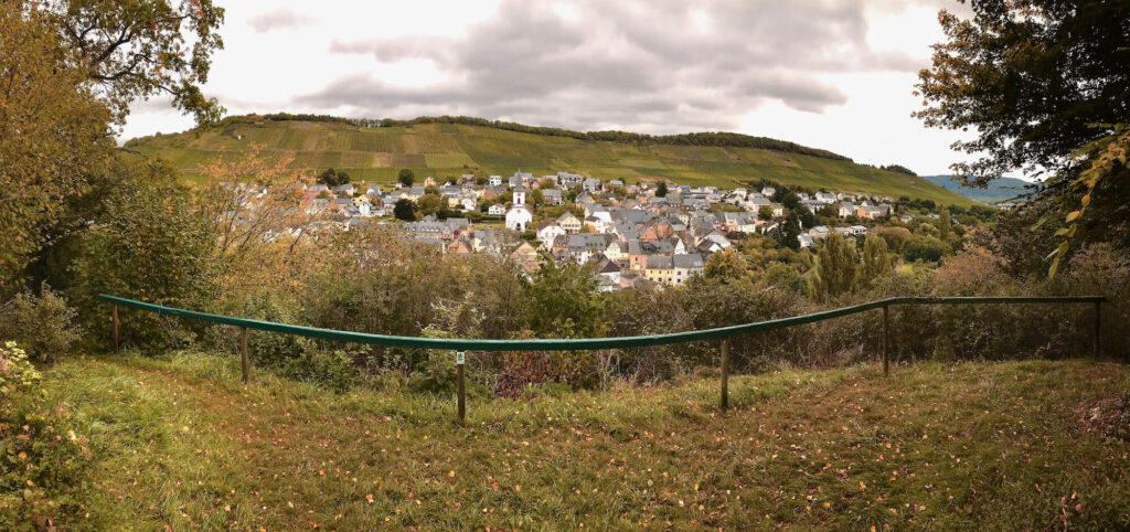
On a gloomy Monday afternoon I start hiking with a friend from the small parking lot just outside Daun-Boxberg. Nobody parks there except us. There is still no sign of the Lieser. After the dry summer I am not sure if there is any water at all in the ditch, which runs in some distance. So we skip the short detour to the spring and enter the Lieserpfad directly at the parking lot. At first we walk on many asphalted agricultural roads through an open landscape. Over and over our view falls on settlements and industry. I don’t really feel like I’ve gotten to the “wilderness” of the Lieserpfad in the Eifel yet.
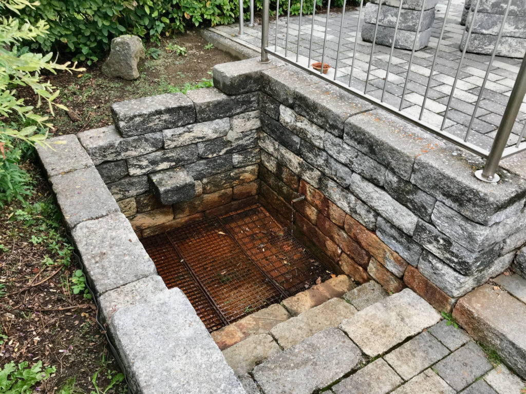
Water gushes out of a well on the edge of the village of Neichen. Lando, whose tongue is already sticking far out of his mouth as he was busy digging for mice in a meadow, storms directly towards the water. However after the first sip he doesn’t want to drink anymore. After I curiously tasted the water myself, I understand why. It tastes metallic and sour, even has natural carbonic acid! I am so surprised by it that I swallowed it before I could spit it out again. But I also don’t want to drink another sip.
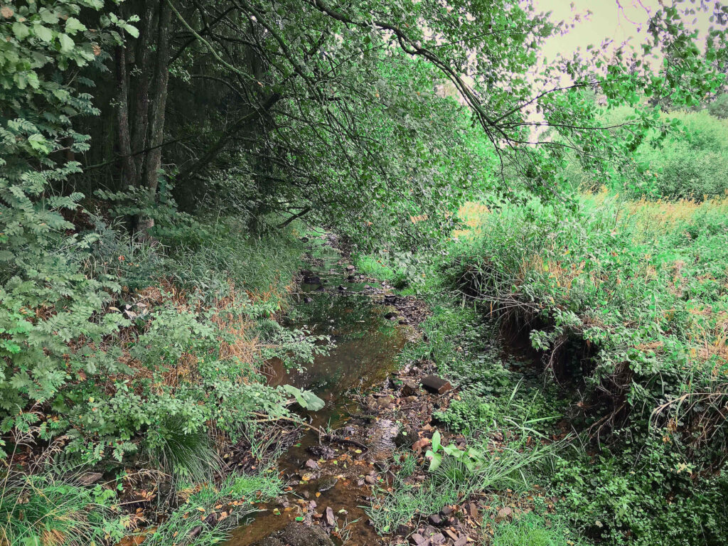
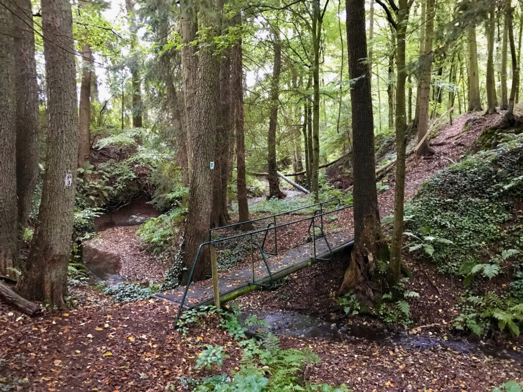
Shortly thereafter, we cross the Lieser for the first time at a small bridge. At this point it is still a small trickle, which makes the bridge seem almost a little exaggerated. A large path leads through a forest with spruces planted accurately in rows. You can clearly see that they are far from healthy after two dry summers.
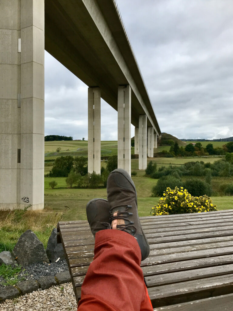
We spend our lunch break under the bridge of the highway A1, which crosses the valley of the Lieser here. There is a nicely arranged resting place with two great seats, a table and the view over the Liesertal. We hear almost nothing from the motorway at this point, so we can enjoy the sandwiches we brought.
The rest of the route to Daun is mostly paved or follows large forest roads, first through several villages, then along a noisy industrial area. After about four hours we reach Daun and are a little disappointed from the first day. We expected more from the most beautiful hiking trail in the world.
Day 2: Daun – Manderscheid
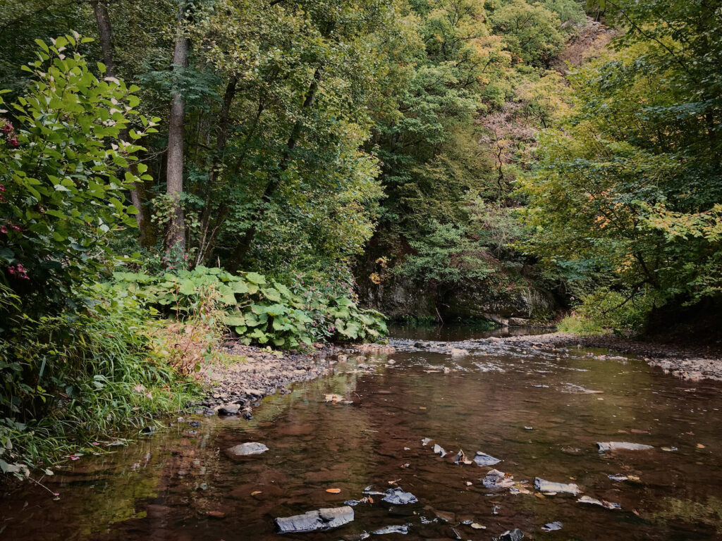
The autumnal morning in Daun begins chilly. Fog fields slowly rise up from the Eifel valley. An impressive scenery. Initially, however, the Lieserpfad leads us from the town down into the valley of the Lieser. In the meantime the latter has become a larger stream. There is an idyllic path here. On the other side of the river, however, the main road leads along, so it is not quiet at all.
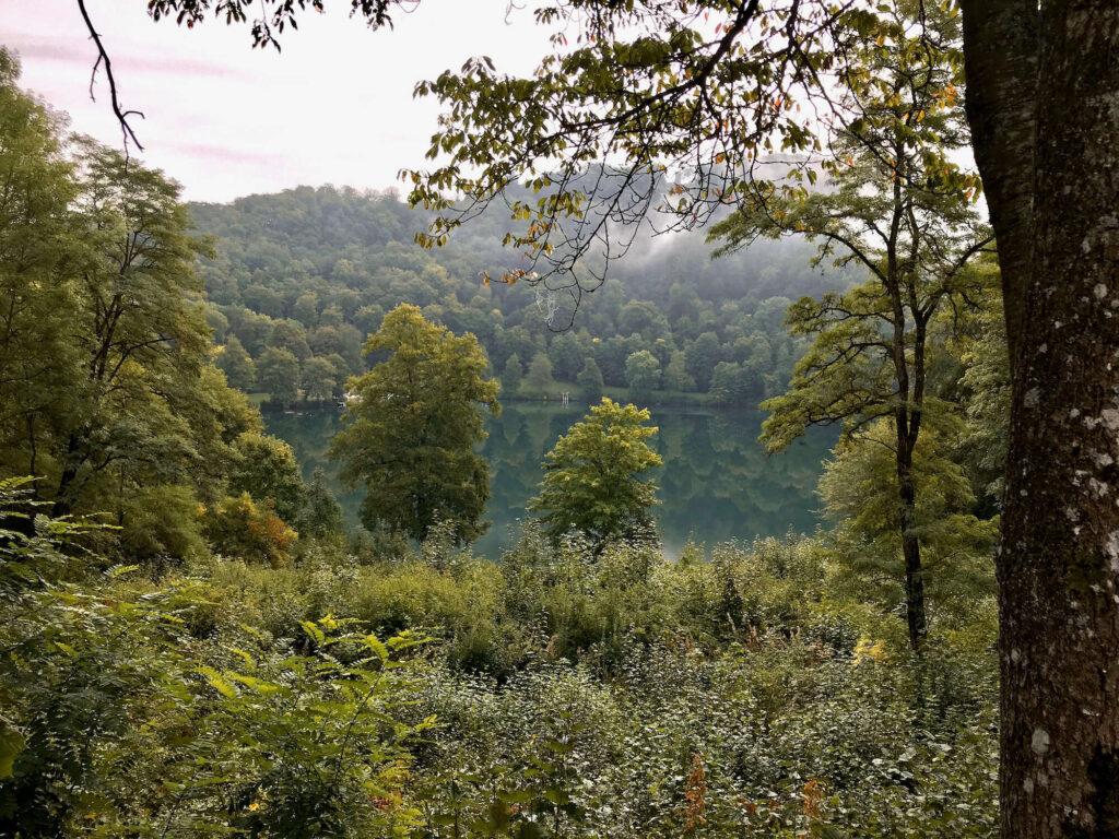
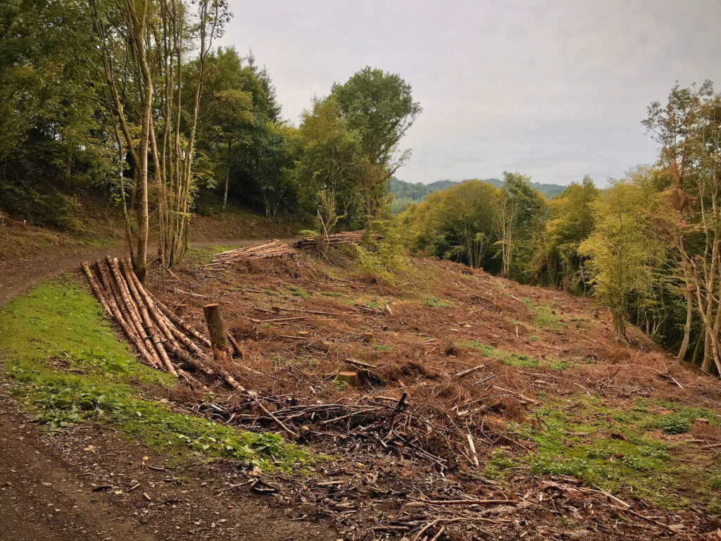
We move forward quickly and soon stand above the Gemündener Maar, a circular lake of volcanic origin. Here we also cross the Eifelsteig, which initially follows a slightly different route, but runs parallel to the Lieserpfad from about half of the second day until half of the third day. For us, however, the trail continues on large forest roads through the forest. At least forest, even if the trails are not exactly to our taste. Deep below us runs the Lieser. Even Lando is bored by the straight, wide paths and he does what he always does in such situations: he looks for a challenge in the form of a big branch which he carries along! For this job, the clear cut along the path offers a great variety.
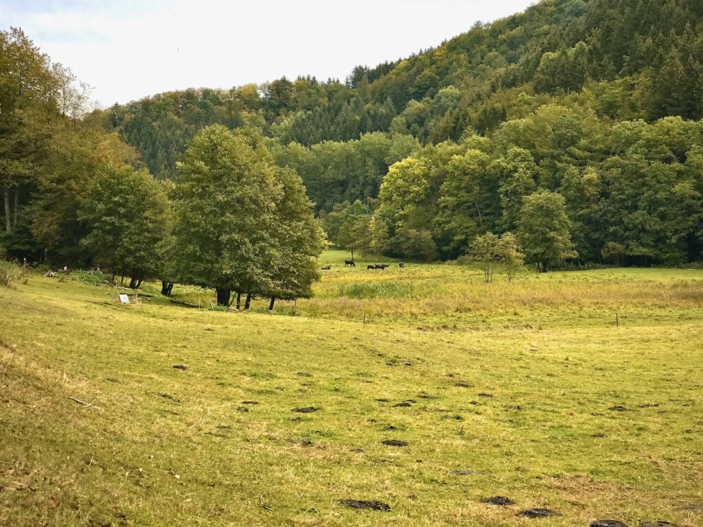
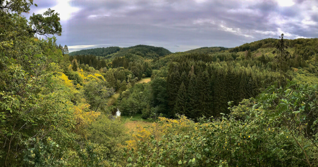
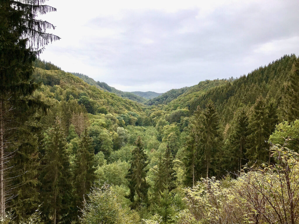
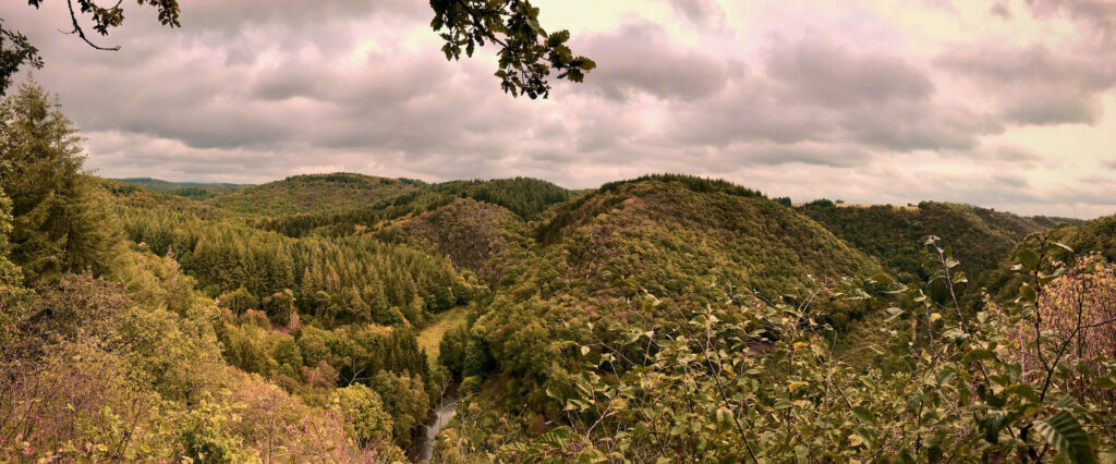
We take a break at a large meadow just behind Üdersdorf. A herd of water buffalos is grazing there and we watch the animals from some distance. Not many steps further on, something happens that we almost didn’t expect anymore. After passing a bridge the path gets narrower and we are now really on small trails in the forest! And on this day we also stay in the forest. Every now and then views over wide landscapes open up, in which we really only see forest. No houses, no electricity pylons, nothing but trees! This is quite extraordinary for Germany and we enjoy it!
Since the Eifelsteig runs parallel, there are also many weather-protected resting huts that invite us to stay. Altough there are smaller trails now, the Lieserpfad is very easy to walk and we reach Manderscheid already in the early afternoon. The village is situated in the middle of the forest and in most places I don’t even have mobile phone reception.
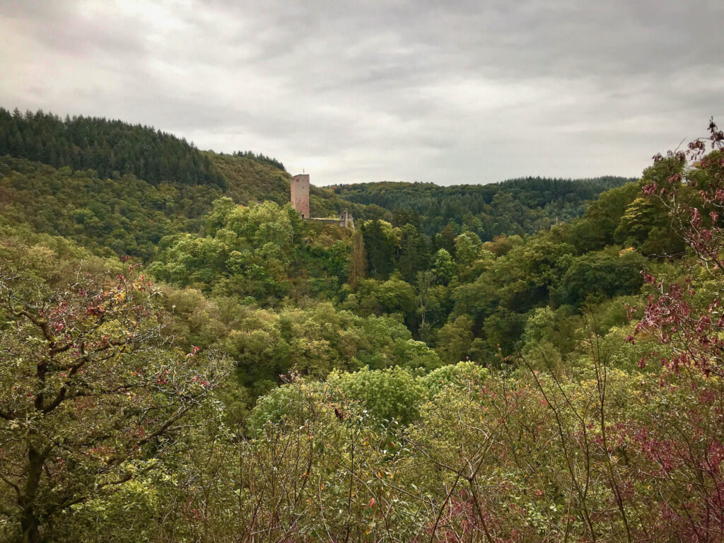
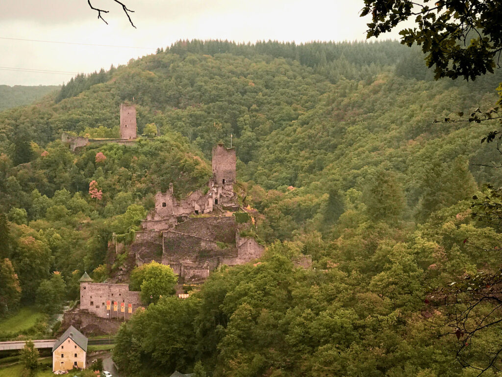
For those who are interested in the castles in Manderscheid, I recommend to stay here for a day and visit them. The upper castle and the lower castle were once hostile to each other and were only separated by the valley of the river Lieser. Today you can visit both and combine this with the 5.4 km long Manderscheid Castle Trail, which starts in the middle of the town.
Day 3: Manderscheid – Wittlich
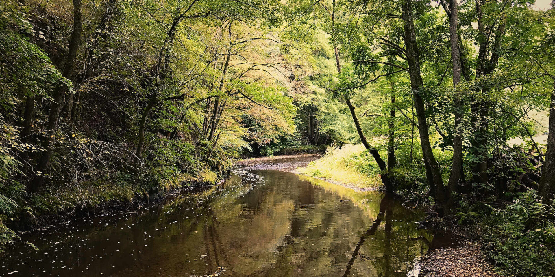
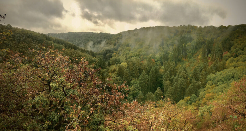
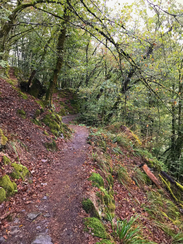
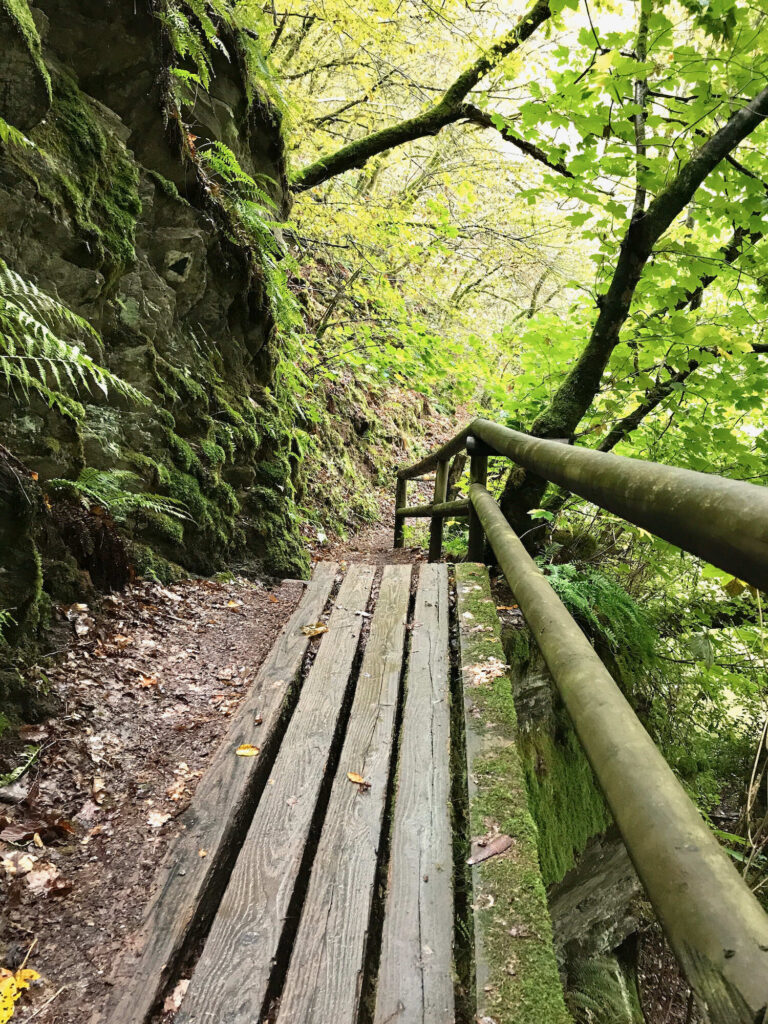
With the panorama of the two castles we say goodbye to Manderscheid and vanish into the forest again. This time the Lieserpfad leads us directly to small tracks with great views through the valley of the Lieser. The fog rising above the valley, the autumnal atmosphere and the damp, mossy rocks along the way give the trail an enchanted atmosphere. I feel perfectly comfortable, am happy to breathe the fresh forest air and enjoy the view of the greenery with its many facets! The trail meanders along the edge of the slope sometimes high and other times only a little above the Lieser. By the way, the Lieser has become a stately little river in the meantime.
By the way, if you look at it on the map, the forest covered landscape is really limited to the valley of the Lieser and its slopes. Immediately after that you will find cultural landscape again. We realise this when the path leads us out of the valley for a short while. At the top of the slope, farmland stretches as far as the eye can see. But back in the valley of the Lieser, we get the impression that the forest is endlessly big, as we cannot see the edge. And in the valley itself, we feel far away from civilisation. In retrospect, I found the third stage really the most beautiful one!
This afternoon we arrive in Wittlich and meet the few hikers we met along the way again. Some of them are staying in the same hotel, while we meet others at the restaurant. This is exactly what I like about hikes lasting several days. You meet the same people several times, and after a few days you develop a feeling of belonging together.
Day 4: Wittlich – Lieser
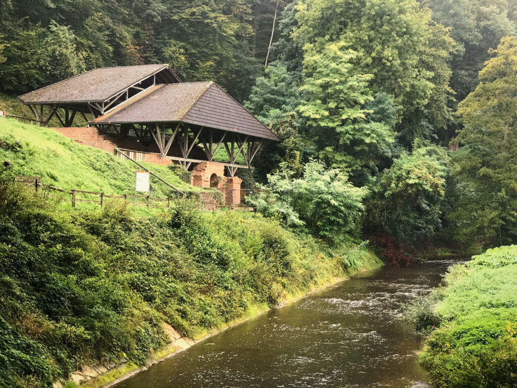
After the great previous day we almost feel a little wistful as we set off for our last day of hiking. We don’t really expect that the last day of hiking will be just as beautiful. But the trail teaches us a different lesson! Shortly after Wittlich we cross the highway A1 again. There, right next to the bridge, are the remains of an old Roman villa. The floor plans on the information board tell us that it must have looked very magnificent at one time.
We turn to the left and with a small climb we return to our beloved forest world. Once again the path leads us on fantastic trails through great mixed forests and almost magical small brook valleys. Afterwards we get back to civilisation a little bit, walking along some fields and through small villages. Nevertheless, the Lieserpfad bends into small woods and narrow paths where it is possible. Even at the last part, which leads very closely along the main road, the trail is well planned.
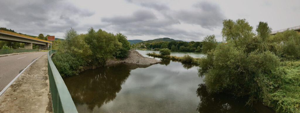
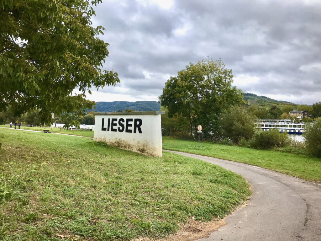
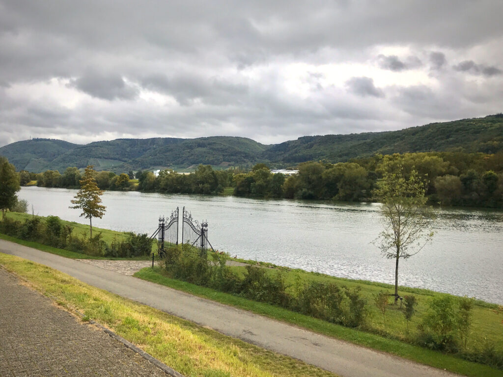
And suddenly we are standing at the mouth of the Lieser into the Moselle! It is not a very spectacular place, almost a bit shabby. There is a pile of gravel piled up and a construction road runs underneath it. Despite this we enjoy the feeling of having accompanied the river on its entire journey for a moment! Then we walk along the Moselle, where we find countless walnut trees, to the village of Lieser.
Conclusion
I did not like the first day of hiking that much. The routing along roads and industrial areas and through many villages was not very idyllic. But from the half of the second day on we got absolutely compensated for it! Small hiking trails and a great routing with untouched nature in the valley of the Lieser were a great experience. I wouldn’t go so far as to describe the Lieserpfad as the “most beautiful hiking trail in the world”, but I really enjoyed it! For those who don’t care to hike the entire length of the river, I recommend skipping the first stage and starting in Daun at the beginning of the second stage. In addition, you can spend an extra day in Manderscheid, to explore the castles and the surrounding area.
The Lieserpfad is very easy to walk, there are no significant gradients and the paths are well maintained. Thus, you can hike quite fast if you want to! Many huts on the second and third stages invite you to rest. The the fourth stage lacked places for breaks. Only on the final quarter there were suddenly countless benches again.
Accommodation
The internet presence of the Lieserpfad is very poor, I recommend to search for accommodation directly on the internet instead of using the listing on the homepage of the Lieserpfad. For the accommodation in Manderscheid you should keep in mind that it offers WiFi, because the mobile reception is not very good there. More information about the stages can be found here: www.lieserpfad.de
