
The hut warden in Alesjaure provides us with the weather forecast for today and tomorrow in the morning. According to this forecast it should still be quite good today, but towards the evening or at the latest tomorrow a storm with some rain is expected. He also warns us of the steep descent that awaits us on Kungsleden on the other side of the Tjäktja mountain pass. We have already heard it several times now that this stretch will be pretty challenging.
The next section of Kungsleden leads to the Tjäktja cabin, which is located just below the last ascent to the Tjäktja pass. From Alesjaure it is about 13 km to hike here. Along the following 12 km to the Sälka hut you will cross the highest point of Kungsleden, the Tjäktja pass at 1150 m.
Fresh snow threatens to snow up the Tjäktja pass
There is a high chance that the approaching precipitation will cover the still snow-free pass with the first fresh snow of the season. Our enthusiasm to trudge over the Tjäktja pass in stormy and wet weather is quite limited. Therefore we decide to combine the next two legs and to hike as far as we can today, but at least to beyond the pass.

We set off around 9 o’clock and soon realise that it will be uncomfortable today. The clouds are already hanging low on the surrounding mountain tops. A little later it starts to rain. The Kungsleden is wet and muddy and the temperatures are only slightly above the freezing point. At first the trail is very flat and easy to walk and follows the Alisvággi valley. Shortly before the Tjäktja hut the steep ascent of about 150 meters begins which leads us to the hut located at 1000 meters altitude. With every meter of altitude it gets significantly colder and the icy wind combined with the rain starts chilling us to the bone.

The bridge to the Tjäktja cabin is a little shaky
When the cabin is already in sight, we suddenly find ourselves in front of a shaky looking bridge. The sign fixed at it informs us that it may only be used by one person at a time. We are sceptical about a crossing with our dogs and therefore we decide to ford through the river below. The river is very shallow and easy to cross, but descending into the canyon through which it flows requires surefootedness.
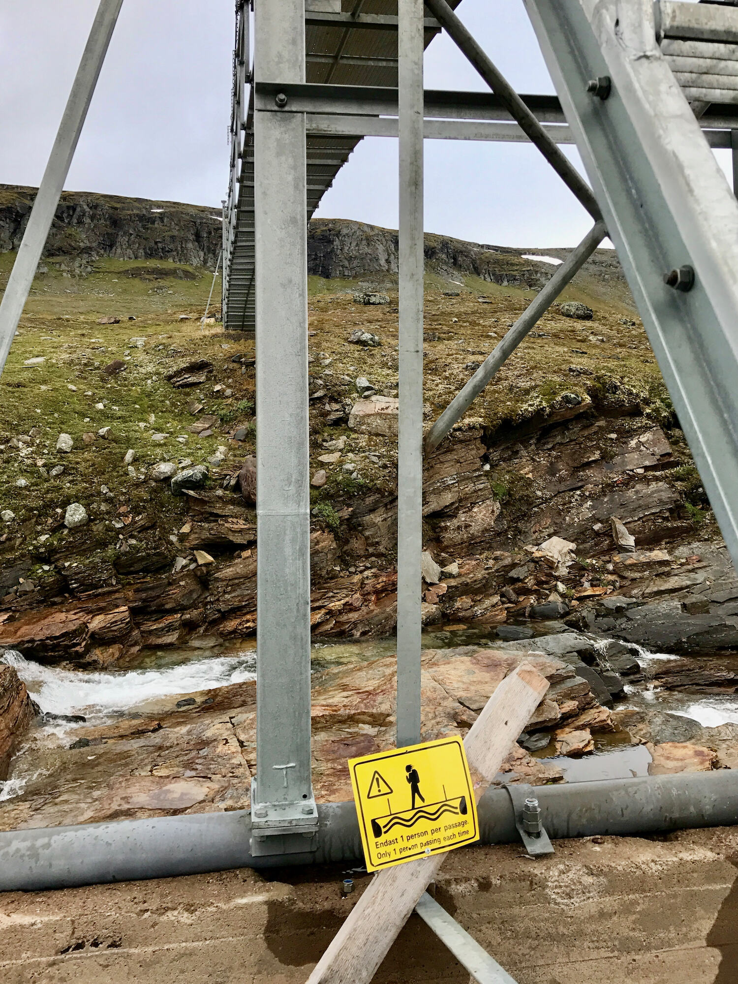
By the way, you only need to cross the bridge if you want to go over to the Tjäktja hut. If you decide to continue directly to Sälka, just follow the Kungsleden up to the pass. Although we plan to go on today, we decide to have a lunch break at the hut and seek some shelter from the cold and wet weather. Meanwhile it is really uncomfortable and despite the steep ascent all three of us are shivering.
STF Mountain Cabin Tjäktja
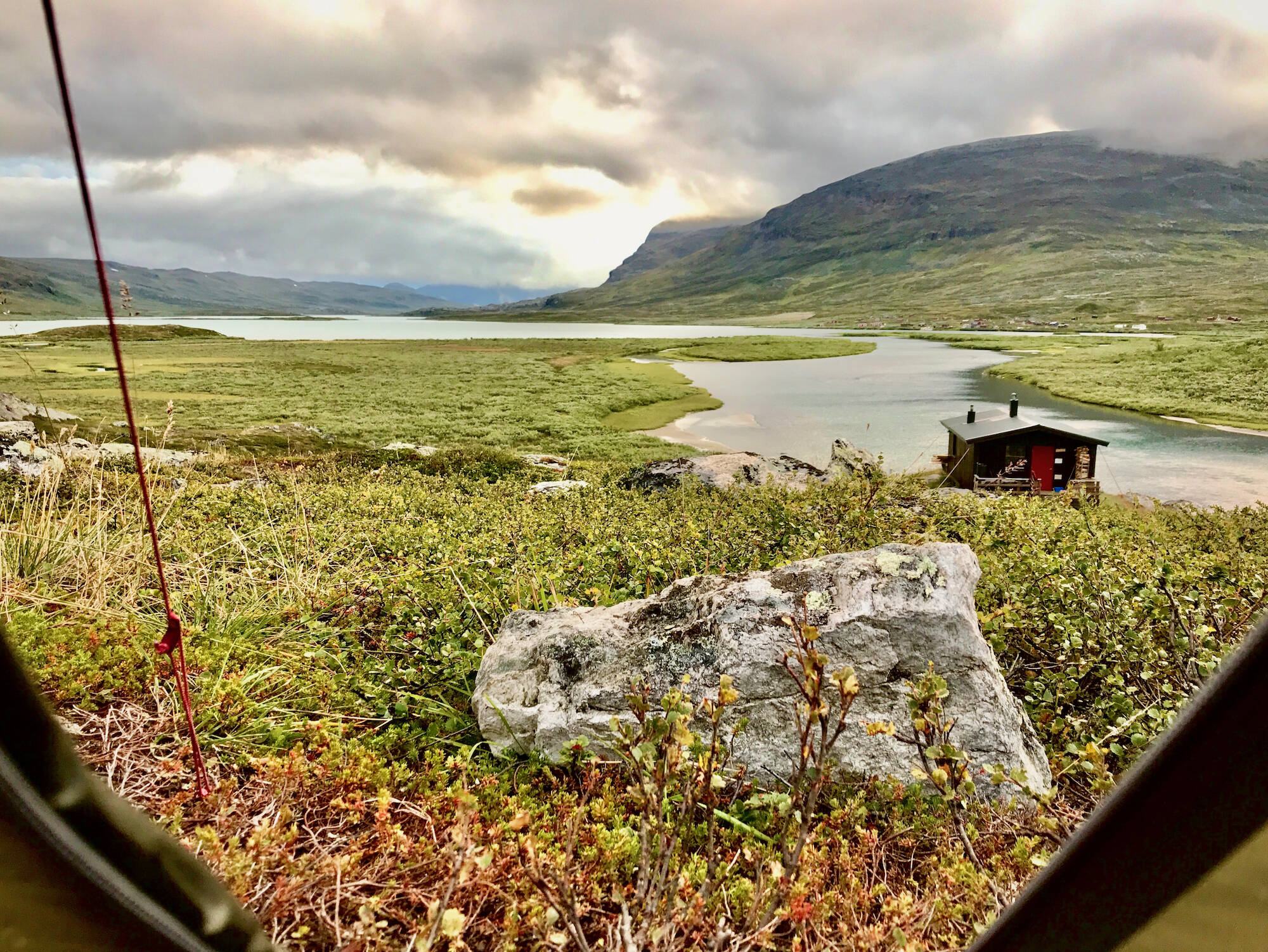
About 100 meters of altitude below the Tjäktja pass lies the cabin of the same name. The rare wolverine lives up here as well. The hut is located a little bit off the Kungsleden.
Beds: 11-25
Store: No
Sauna: No
Payment: Cash or credit card
More information: swedishtouristassociation.com
After the break we continue to the highest point of Kungsleden: the Tjäktja pass
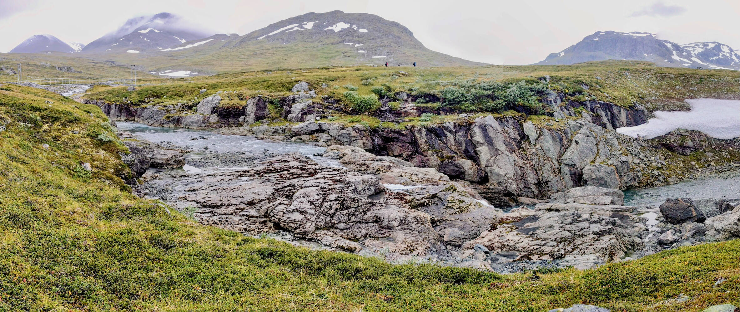
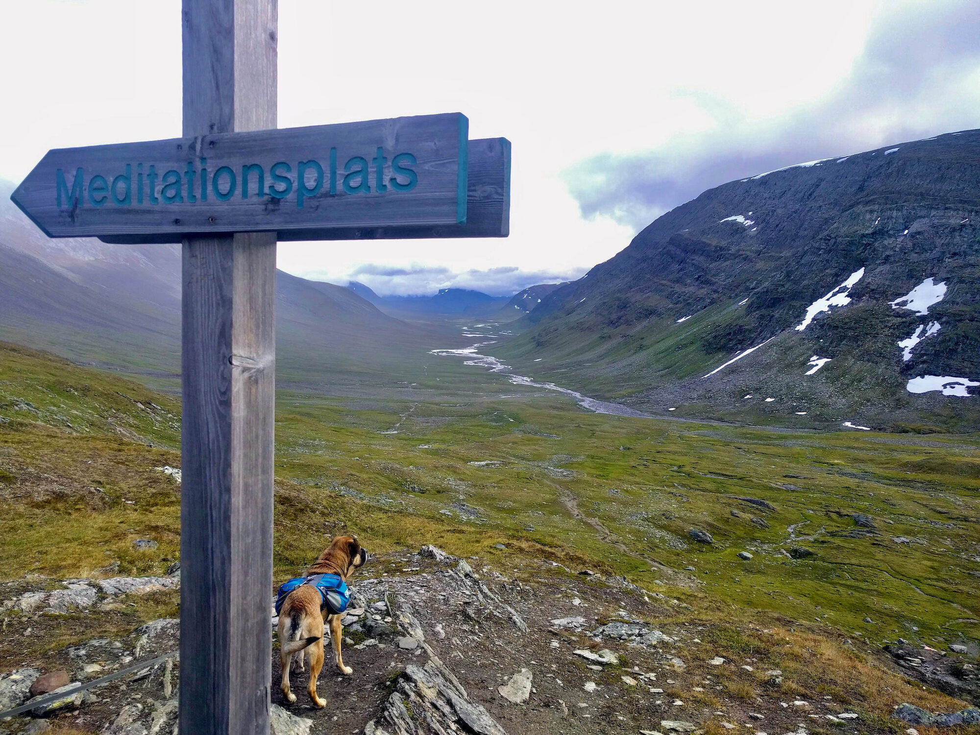
We stay at the Tjäktja cabin for half an hour, then we make our way up to the pass. The landscape here is alpine, but wooden planks lead through the scree, so that it is quite easy to walk. Therefore we make good progress and also the steepest part of the ascent was already before the cabin. About one hour later we are standing on top and enjoy the spectacular view. An icy wind is blowing, but at least it is not raining any more. We take a short break at the shelter at the top of the pass, where you could probably stay overnight in an emergency situation. It offers us a welcome shelter from the strong and cold wind.
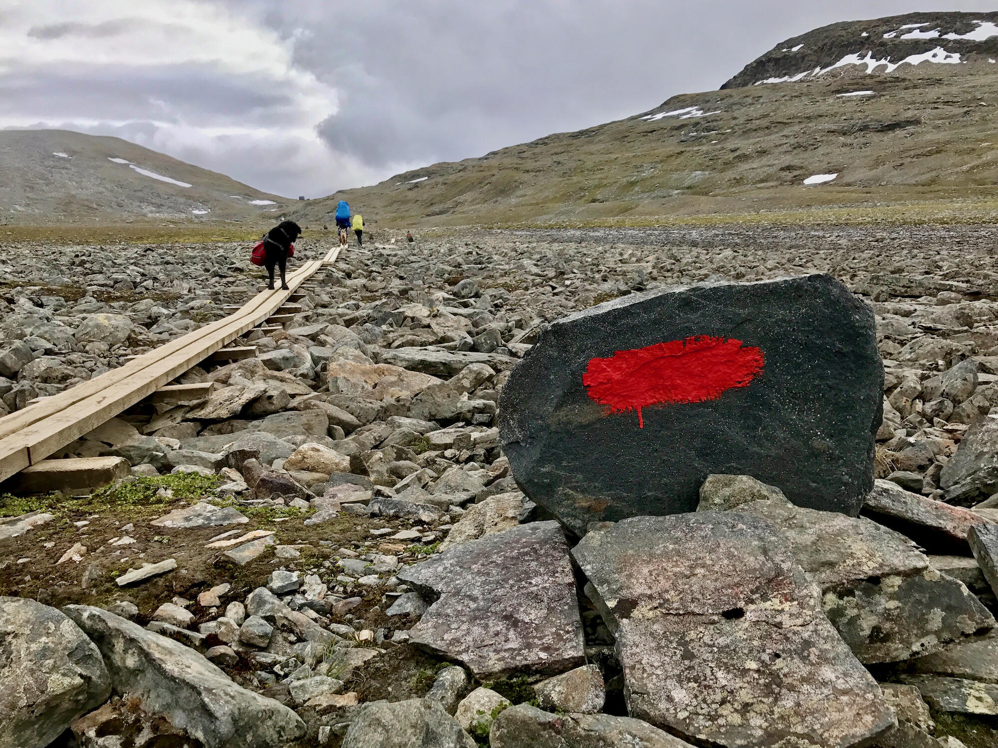
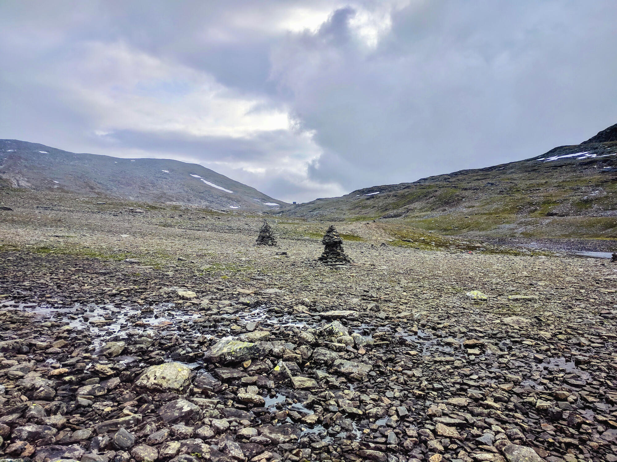
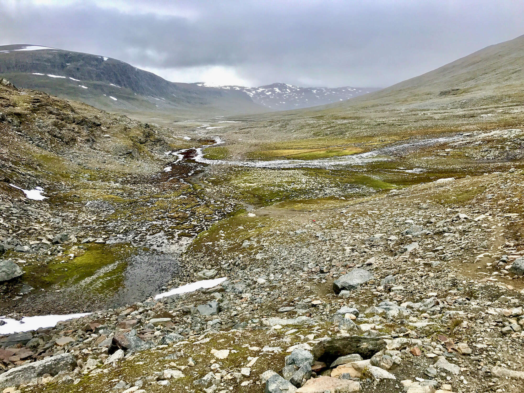
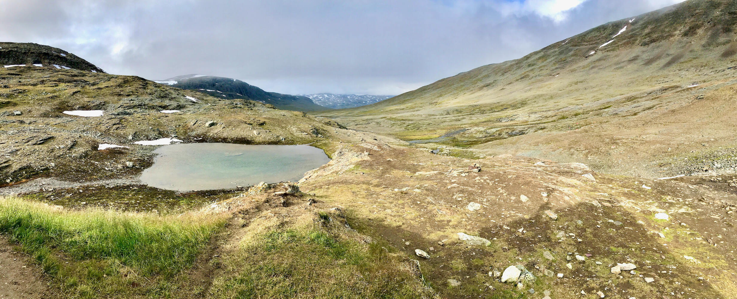
We now realise that the pass separates two very different landscape types. While the terrain was alpine and stony during the ascent, only a few meters behind the pass the surface is already overgrown with lush green grass again. The descent is indeed steep on the first few meters and a bit slippery due to the rain, but after all the stories we imagined it to be worse. The view opens wide into the valley of the Tjäktjajåkka and we can already see the whole route to Sälka: we will be hiking through this valley for the next two days.

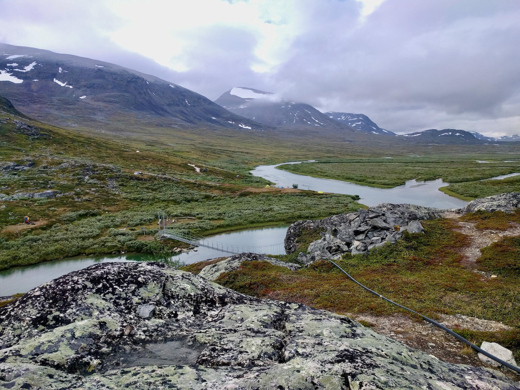
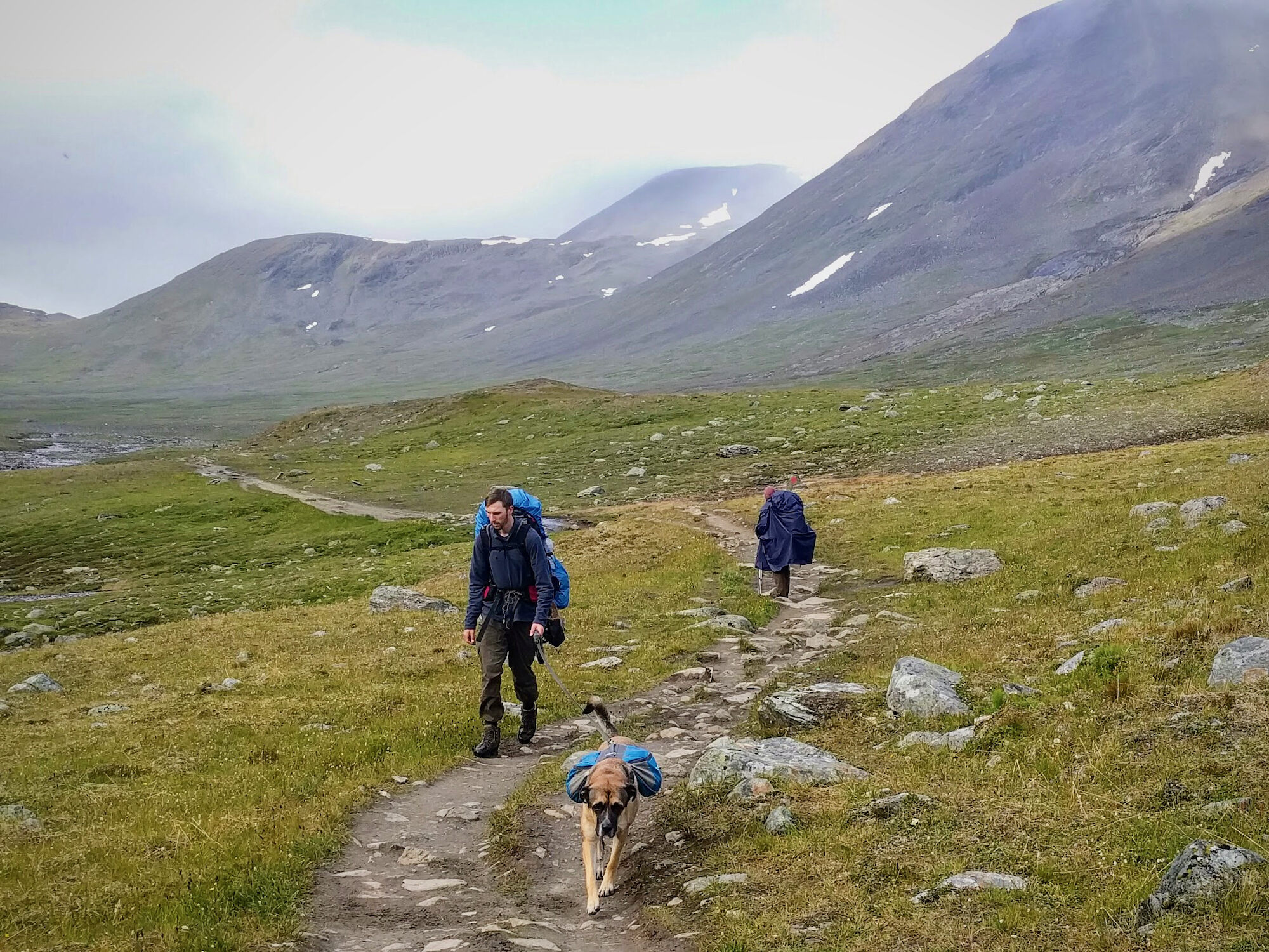
The way to Sälka is stony and challenging
After we are back down in the valley, the trail feels endlessly long. We are tired and the path is covered with stones that strain our feet. Many times we slide down on the wet stones and have to watch carefully how we place our feet. I am tired and try to convince my two companions that we don’t need to walk all the way to Sälka today. Unfortunately without luck: the two want to go on and lure me with the sauna waiting for us at the hut.
On the other side of the river a small herd of reindeer is grazing. That cheers me up! Unfortunately the animals are too far away to take a good photo. But they are the first reindeer we see in the wild and we are all excited – especially the dogs of course!

Mindset is the key: I still make it to Sälka despite dwindling energy
However, when I continue hiking I soon realise that I am at the end of my physical strength. I decide to stop wasting energy on complaining and instead put everything into moving forward. Suddenly I am in a different mindset and make it to the Sälka hut. Wow, 25 kilometers with a heavy backpack through stony terrain are done! We camp a little below the cabin and after the well-deserved dinner we quickly find ourselves in the sauna! The hut warden makes sure that we all leave the sauna on time, because this cabin is also overcrowded and several guests will sleep in the sauna tonight. Tired but proud to have made todays stage, I fall into a deep sleep in my tent.
STF Mountain Cabin Sälka
Two valleys cross at the huts in Sälka. Here many hikers branch off from Kungsleden towards Kebnekaise. From here you can enjoy many day trips, making Sälka a perfect place to spend a rest day.
Beds: 51-75
Store: Yes
Sauna: Yes
Payment: Cash or credit card
More information: swedishtouristassociation.com
STF Alesjaure Fjällstuga
Description
Day 4: Alesjaure - Sälka
Profile
Description
It is a long stage from Alesjaure to Sälka. Up to the Tjäktja pass there is a 350 m ascent. If this stage is too far and too demanding for you, you can also just walk to STF Tjäktja Mountain Cabin. It is quite exactly in the middle of the two stages. The view from the pass into Tjäktjavaggi is breathtaking: We will be hiking through this fantastic valley for the next two days.